Hiking Mt. Buntis
Our adventurous feet take us to the historical town of Maragondon in the province of Cavite. Today, we'll be hiking a historical yet controversial mountain - Mt. Buntis.
Mt. Buntis Details:
Mt. Buntis stands 280 meters above sea level (MASL). The name "buntis" is a Filipino word that means pregnant. To find out why it was named as such, I asked our guide who sadly seems to know nothing about it. Then I recalled that a few years back, I hiked another mountain near Mt. Buntis called Mt. Nagpatong. The name "nagpatong", by the way, means to lie on top of somebody... I would love to share my own interpretation of how these mountains got their names but the story tends to be perverted in some way so I'd skip that part.
 |
| Don't forget to register |
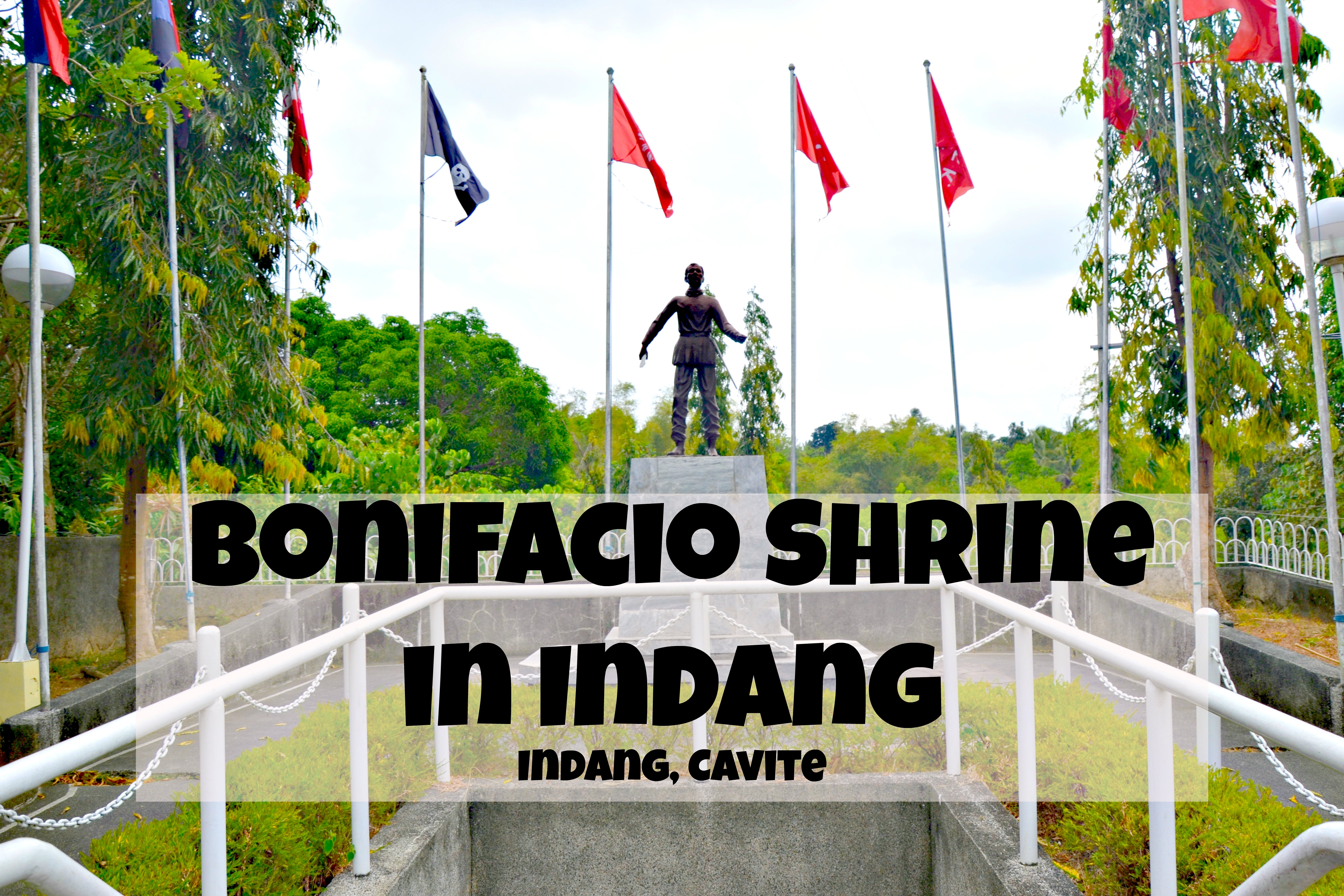
Going back, despite its "shortage in elevation", Mt. Buntis remains one of the well-known mountains in the Philippines. This is brought by the fact that it is always associated with Andres Bonifacio who is a very prominent figure in the Philippine Revolutionary History. Mt. Buntis is said to be the place where Andres Bonifacio and his brother were executed on May 10, 1897. However, this is contested by many historians due to the lack of solid pieces of evidence, particularly Bonifacio's remains.
 |
| Are you ready to cross the Caingin Hanging Bridge? |
 |
| It seems easy enough... |
 |
| ... Oh, shoot! Just don't look down! |
Today, people flock to Mt. Buntis not to look for the remains of Andres Bonifacio and his brother but to escape the hustle and bustle of city life and also to conquer the mountain. I got to hike Mt. Buntis with my cousins last April 2019 as part of our monthly mountaineering family bonding.
For those planning to hike Mt. Buntis, head first to Barangay Caingin Barangay Hall to register. The registration fee is free but you have to avail yourself of the mountain guide services. The guide fee is P100 pax at the time of writing. Although you have to avail of a guide and shell out money, keep in mind that this is the standard operating procedure (SOP) for mountaineers in the Philippines. It's for your safety.
After registering, you will then cross the Caingin Hanging Bridge which many refer to as the jump-off point for Mt. Buntis. About a hundred meters after crossing the bridge, you'd find yourself in an open field. You will spend half of your trek time crossing this wide field under the scorching heat of the sun so better bring an umbrella for this part of the hike.
 |
| At the foot of the mountain |
 |
| Stream crossing! |
 |
| Start of the ascent |
 |
| Passing through some giant boulders |
 |
| Almost there! |
 |
| Summit reached! |
 |
| Here's what the peak looks like |
 |
| The view from the top |
Once you crossed the field, you'd find yourself at the forested part of the trail. There are several streams that you'd have to cross along the way. You'll know when you're on the foot of the mountain when the trail starts to ascend. It takes around 30-40 minutes for one to reach the peak of Mt. Buntis from its foot.
Once you reach the peak, you'd thank God that it's not so bare as the field below it. There are several trees on the peak that offers shade. From the peak, you'd get a panoramic view of the Maragondon Ridge and the plains of Maragondon. From here, you can back-trail to the jumpoff point or traverse hike Mt. Nagpatong.
Mt. Buntis Itinerary:
5AM - ETD from Southwest Integrated Terminal 630AM - ETA Maragondon town proper640AM - Registration at Brgy Caingin Barangay Hall700AM - Start hike9AM - Summit
10AM- Early Lunch
11AM - Start decent
1230PM - ETA jump-off point
10AM- Early Lunch
11AM - Start decent
1230PM - ETA jump-off point
Why hike Mt. Buntis?
Overall, Mt. Buntis is perfect for a weekend hike and also for trail running. The only major challenge faced by hikers of this mountain is the scorching heat of the sun during summer.
Getting to Mt. Buntis:
From Manila, ride a bus that would bring you to the Southwest Integrated Terminal near Coastal Mall. From there, ride a bus bound for Ternate, Cavite. Tell the conductor to drop you off at Maragondon town proper. Fare is around P70 -80. Since the buses don't go inside the town proper, you'll have to walk from the highway going to Barangay Caingin Barangay Hall which takes about 10-15 minutes. There are tricycles in town that can also bring you there.


Oh God! That hanging bridge looks so scary !!
ReplyDeleteHahaha! yup, it's not for the faint of heart. Hahaha.
DeleteI have not been to the Philippians yet, but I have hiked all over Asia.
ReplyDeleteSeriously? You should come and hike the mountains of the Philippines. They are truly amazing and worth your time and effort.
Deletewonderful blog! great adventure you must have had! looking forward for more fun!
ReplyDeleteThanks Jimmy!
DeleteLoved how you captured each moment.
ReplyDeleteThank you! =)
DeleteIt's funny how nobody knows where the name of the mountain comes from. I am not very good with heights so that hanging bridge would be a bit challenging for me.
ReplyDeleteI find it weird as well. However, I came into a conclusion that they probably named the mountain based on the features or curvatures that they have.
DeleteVery interesting place. Looks fun (and little scary on that bridge)!
ReplyDeleteHahahaha. Same thought in my mind. Hahaha
DeleteThank you for sharing your beautiful adventure with me. Your pictures are so gorgeous.
ReplyDeleteThank you Marjie! =) Much appreciated.
DeleteI don't know if I could calmly walk across that bridge! I think I'd be a bit nervous and just want to run across to get it over and done with. Otherwise it looks like a wonderful trip.
ReplyDeleteThe bridge is the highlight of the hike. You'd love it. It's gonna be a memorable crossing.
DeleteThat bridge looks Scary!! But I am sure the hike must have been gorgeous in person
ReplyDeleteYes it is Devyani! Come visit Mt. Buntis.
DeleteIt cracks me up whenever I hear "Mt Nagpatong" and "Susong Dalaga" (Mount Tagapo) HAHAHAHA!!!! Ang baboy! Mt. Buntis' trail kind of reminds me of Mt. Talamitam, most of it are paved, forest trails here and there but the view from the summit is breathtaking! I haven't been here but I'd like to take this on someday. Bukas agad!
ReplyDeleteI don't think I'll be able to cross that bridges. BWAHAHAHA!
love love the pictures!
Hahaha. The new trail of Talamitam has the Manabu feels in it. Mt. Buntis on the other hand is a very easy hike. Lika na akyat na!
Deletehave not visit these places in Philippines during my trip there many years ago, lovely sharing
ReplyDeleteCheers, siennylovesdrawing
There are plenty more places to visit now compared before. You should come visit again! =)
DeleteYou captured amazing views. I really wanna visit there.
ReplyDeleteThank you Amelia. Please do come visit!
DeleteI have never heard of this mountain before, but it looks like a great hike. I liked the part about the legends of if there are remains of a historical figure there or not.
ReplyDeleteIt is truly a great hike a bit easy though (and hot) yet still a great hike. Please do try it out someday.
DeleteYou sure had an awesome time. The hanging bridge would scare the life out of me.
ReplyDeleteYes I did have an awesome time Bindu. Please come visit and try crossing Caingin Bridge.
DeleteThe hanging bridge looks amazing! I havent been on one yet but I'm sure it's thrilling!
ReplyDeleteI beg to discagree, Caingin Bridge does not look amazing, it looks as if one of the planks would crack anytime soon.Haha
DeleteDo you have Any contact numbers from tour guides? We would like to go there this weekend but we're not sure if it is open for hiking
ReplyDeleteHi there!
DeleteHere's the number of Maragondon Municipal Hall. You may inquire here if Mt. Buntis is now open for hiking.
(046)412-1675
Do you have the contact number of the guide or the brgy to check of they are now open?
ReplyDeleteHi, you can call the Maragondon Municipal Hall and ask for the tourism officer in this number (046) 412 1677
DeleteNandiyan pa siguro ang kaluluwa ni Bonifacio. Hehehe.
ReplyDeleteHahahah! Maraming magagalit diyan sa comment mo.
Delete